La Cañada Flintridge Vs Foothills: How To Pick Your Spot
June 18, 2026
June 18, 2026
Trying to choose between La Cañada Flintridge and the nearby foothill communities can feel harder than it looks. On a map, these areas sit close together, but your day-to-day experience can be very different depending on where you land. If you want a clearer way to compare housing, commute patterns, and everyday lifestyle along the 210 corridor, this guide will help you narrow your options with confidence. Let’s dive in.
When most buyers compare La Cañada Flintridge, the practical matchup is not just one place. It usually includes La Crescenta-Montrose to the west and Altadena or east Pasadena to the east.
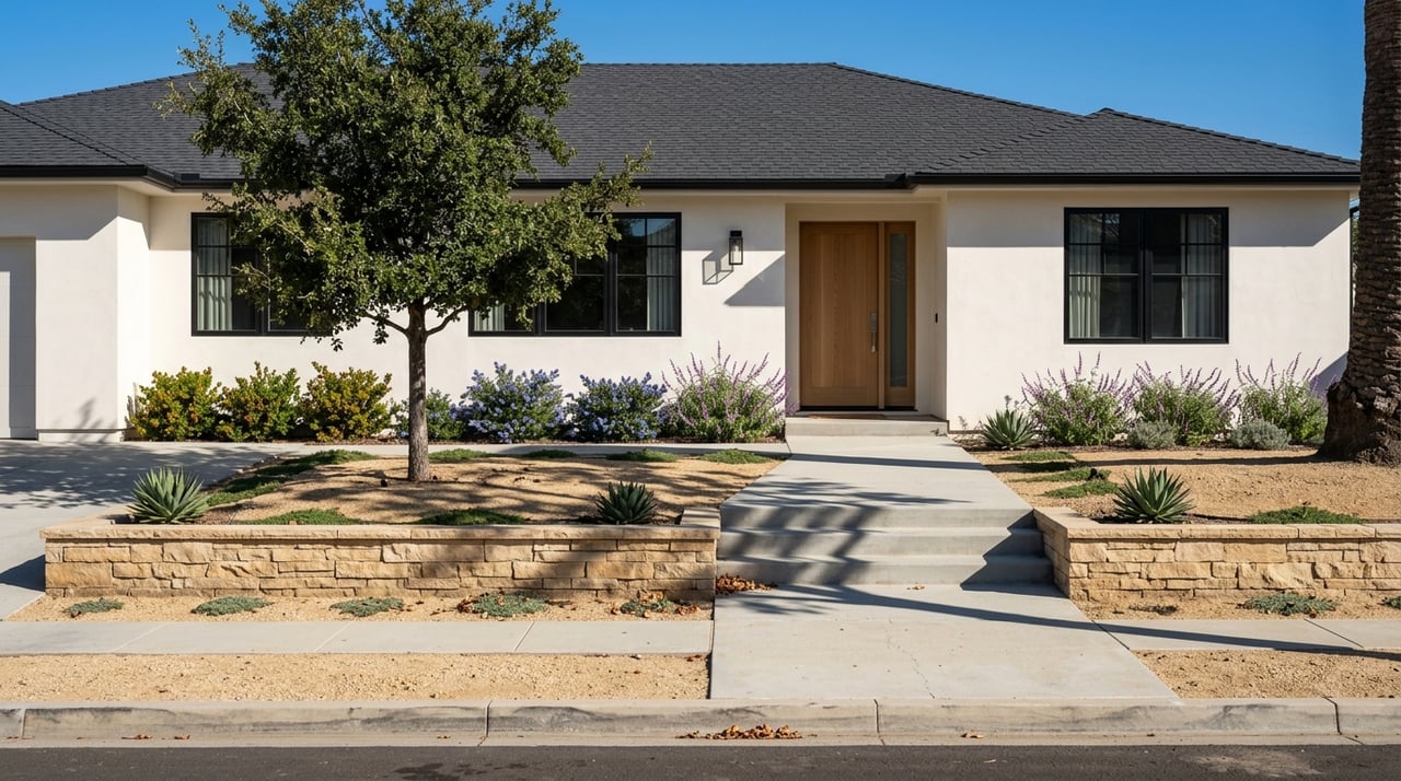
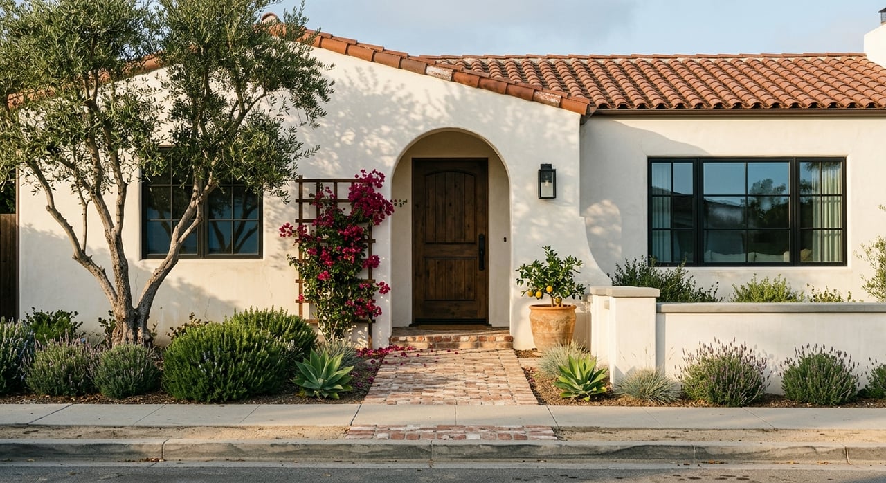
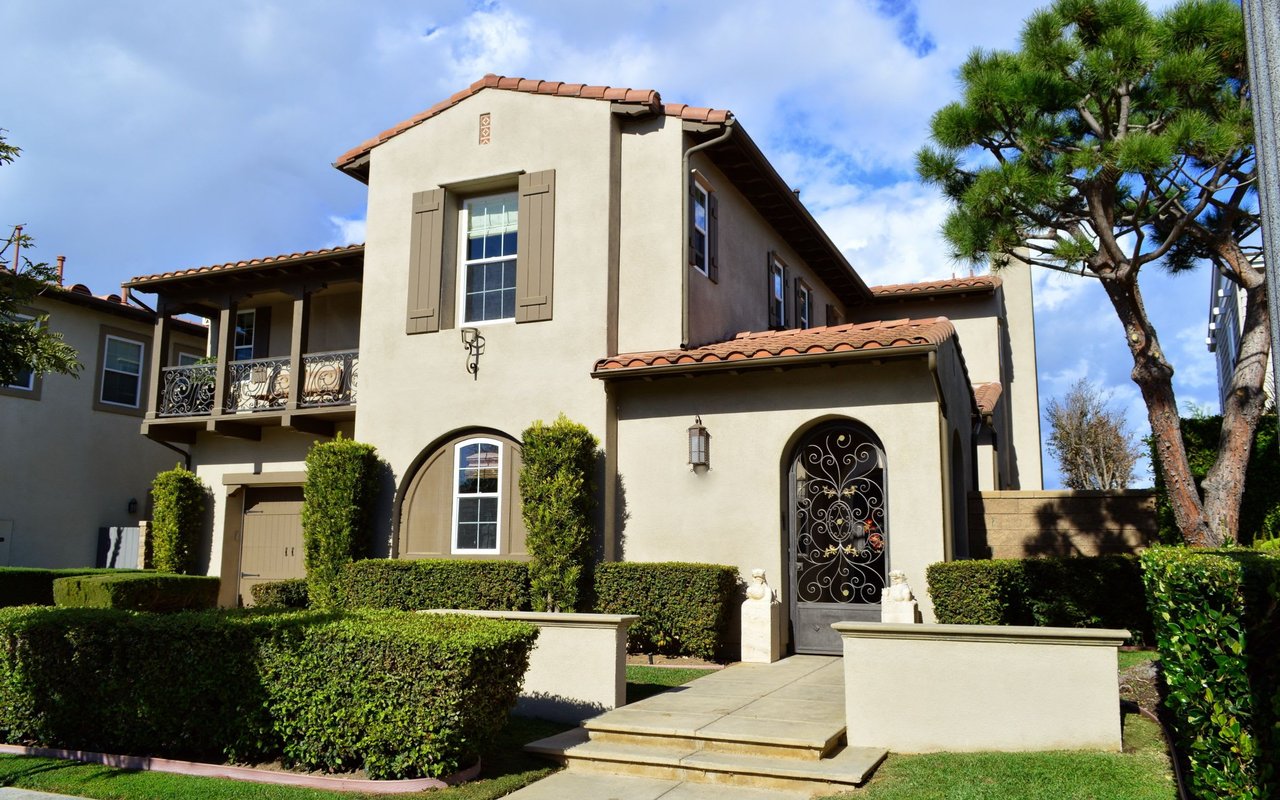
La Cañada Flintridge is a built-out foothill city with mostly low-density residential neighborhoods and a small mixed-use downtown. La Crescenta-Montrose shares a suburban foothill feel, but it is more corridor-oriented. Altadena has the broadest foothill market of the group, with low-density residential areas, foothill estate zones, and some corridor-focused mixed uses.
For many buyers, the best place to start is the housing stock. These three areas may share a foothill setting, but the range of homes and future housing variety are not the same.
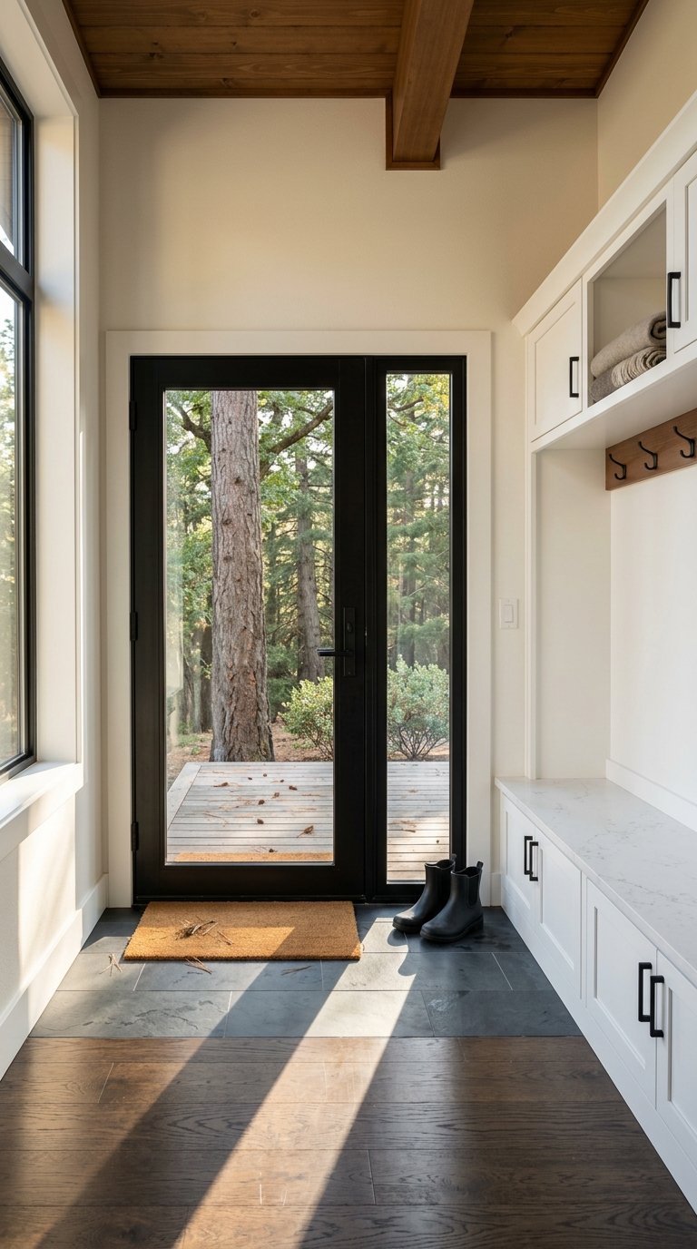
La Cañada Flintridge is largely made up of low-density, single-family homes. The city also has a small downtown area where planning efforts support more variety through ADUs, apartments, condominiums, and mixed-use residential projects, mainly in the Downtown Village Specific Plan area and along Foothill Boulevard.
The housing base here is established. City planning documents note that about 77 percent of the housing stock was built before 1970, which gives much of the city an older, built-out character.
La Crescenta-Montrose offers a slightly broader mix. County planning reports 7,375 housing units, with 76.5 percent single-family homes and 22.2 percent multi-family units.
It is also an older housing area, with 83 percent of homes built before 1979 and less than 1 percent built since 2010. The area has a split layout, with La Crescenta north of I-210 and Montrose south of it, plus main commercial corridors along Foothill Boulevard and Honolulu Boulevard.
Altadena has the widest housing mix in this comparison. County data shows about 90.22 percent single-family units and 9.34 percent multi-family units, while the community plan preserves low-density residential areas across most of the community and very low-density estate residential in the foothills north of Loma Alta Drive.
Planning also emphasizes growth along primary corridors like Lake Avenue, Lincoln Avenue, and Woodbury Road. In practical terms, that gives buyers more product variety and more distinct subareas to consider.
If you want the most constrained, built-out foothill setting, La Cañada Flintridge stands out. If you want a middle ground with a suburban feel and some added housing variety, La Crescenta-Montrose may be the better fit.
If you want the broadest range of housing types and a wider spread of neighborhood patterns, Altadena and east Pasadena usually give you more to compare. That conclusion comes from the land-use patterns in the local planning documents.
Once you know your housing preferences, the next step is your routine. Where you work, how often you drive, and whether you use transit can quickly shape which foothill area feels easiest to live in.
La Cañada Flintridge has a transit network centered on Foothill Boulevard. The city lists weekday service from the LCF Shuttle and Glendale Beeline, along with Pasadena Transit, LA Metro, and LADOT Commuter Express at city bus stops.
Those connections can be especially useful if your routine touches JPL, Montrose, Glendale Galleria or The Americana, Raymond and Glenarm, Caltech, Pasadena, or Downtown Los Angeles. For the right buyer, that makes La Cañada Flintridge feel more connected than its quiet setting might suggest.
La Crescenta-Montrose is strongly shaped by I-210 and its commercial streets. County mobility planning identifies I-210, Foothill Boulevard, Montrose Avenue, Honolulu Avenue, and Pennsylvania Avenue as key travel corridors.
That means the area is very freeway-oriented, but it also has a more obvious street network for daily errands and commuting. Glendale public transportation serves the area, and Glendale’s Larry Zarian Transportation Center adds a useful regional rail and bus hub nearby.
Altadena and east Pasadena tend to be the most transit-sensitive parts of this comparison. County planning notes sidewalk gaps and limited facilities in some northern areas, plus the need to improve first-last-mile connections around Altadena Drive and Lake Avenue and around Woodbury Road and Lincoln Avenue.
At the same time, Pasadena Transit route 40 links Old Pasadena with the Sierra Madre Villa Metro A Line station, and Metro Micro includes Altadena, Pasadena, and Sierra Madre in its service area. If your regular destinations are Pasadena or east-side rail stops, this can be a meaningful advantage.
A big reason buyers consider the foothills is lifestyle. Trail access, parks, and local commercial areas can make one community feel much more convenient than another.
La Cañada Flintridge has a very self-contained outdoor and amenity profile. City resources highlight 23 miles of trails, six municipal parks, Descanso Gardens, and a Saturday farmers market on Foothill Boulevard.
Hahamongna Watershed Park, near JPL at Oak Grove Drive and Foothill Boulevard, adds a large network for trails, picnics, biking, and equestrian use. The Downtown Village Specific Plan also aims to strengthen the downtown area with attractive streets, public spaces, and mixed-use activity.
La Crescenta-Montrose has a strong mix of village retail and open-space access. Glendale identifies Montrose Shopping Park as its official Old Town, with shops and restaurants along a park-like main street.
The area also benefits from nearby open space, including Deukmejian Wilderness Park on Glendale’s northern edge and the Rosemont Preserve. If you want a walkable commercial pocket combined with quick access to foothill recreation, this area has a clear appeal.
Altadena has a strong outdoor identity, but current access is affected by Eaton Fire recovery. LA County states that Eaton Canyon remains closed to public access, with no set reopening date in the county FAQ and an alert extending closure through December 31, 2027.
County planning still identifies Hahamongna Watershed Park, Eaton Canyon, and Loma Alta Park as important open-space and connectivity nodes. Still, if easy day-to-day trail access is high on your list right now, the current recovery conditions matter.
The best choice usually comes down to what you value most in daily life. Instead of asking which area is best overall, ask which one best supports your routine, budget, and preferred housing type.
If you are still torn, try ranking your top three decision points before you tour homes. For example, you might rank privacy, commute flow, and trail access, or you might focus on housing variety, corridor convenience, and access to Pasadena.
That simple exercise often makes the right area much clearer. In this foothill comparison, the differences are less about distance and more about how each community supports the way you actually live.
If you want help comparing foothill communities, evaluating housing options, or building a search strategy around your routine, Dan Regan can help you take the next step with clear, local guidance.
Stay up to date on the latest real estate trends.
July 9, 2026
July 2, 2026
June 25, 2026
June 18, 2026
June 11, 2026
June 4, 2026
May 28, 2026
May 21, 2026
May 14, 2026
I’m grateful to be part of over 450 transactions in my career and the wealth of knowledge it has brought me, and I can’t wait to meet you! Contact me today to start your home searching journey!
LET'S CONNECT
DAN REGAN | CA DRE# 01915384
25129 The Old Road Suite 114 Santa Clarita CA 91381